Parker Schwarz · 5 September 2026
Dewlyn Schoolchildren Develop App for Tracking Local Wildlife Sightings
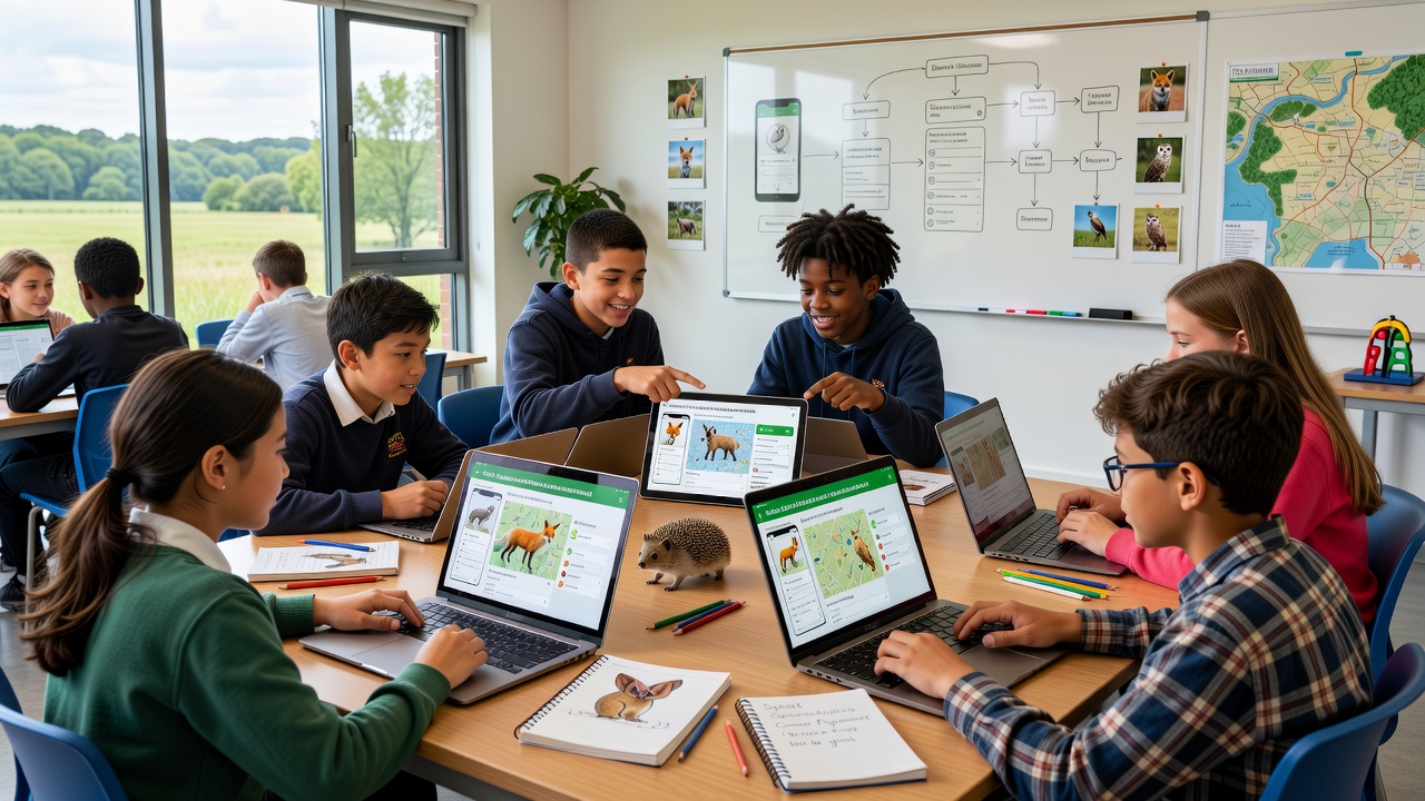
Students at Dewlyn Primary School created a mobile application designed to record and map wildlife sightings across the surrounding countryside, and this project gained momentum through classroom collaborations that began in early 2025. The app allows users to log observations of birds, mammals, and insects while attaching location data, timestamps, and basic species descriptions. Developers incorporated a simple interface that works on standard smartphones, which enables both students and residents to contribute records during daily walks or organized outings.
Project Origins and Development Process
The initiative started when teachers integrated a local ecology module into the curriculum, and students identified gaps in existing data collection methods for regional species. They built the app using open-source coding tools during after-school sessions, which focused on features such as offline data storage and automatic syncing once internet access became available. By September 2026 the team released the first public version, and initial downloads reached several hundred within the first month according to school records.
One group of year six pupils handled the user interface design while another managed the database connections, and this division of labor helped maintain steady progress throughout the school year. The resulting tool includes prompts for common local species like red foxes and barn owls, which reduces entry errors and encourages consistent reporting from participants.
App Features and Community Rollout
Core functions center on GPS integration that plots sightings on interactive maps, and these maps update in real time as new entries arrive from verified users. Additional options allow photo uploads alongside notes about behavior or habitat conditions, which researchers later review for patterns in animal movement. The system sends weekly summaries to registered participants, and these reports highlight areas with high activity levels without revealing sensitive nesting sites.
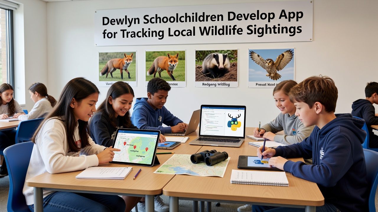
Local residents joined testing phases in the summer of 2026, and feedback led to adjustments such as simplified menus for older users. Partnerships with nearby nature reserves provided validation for the species list, while data from the app feeds into broader monitoring efforts coordinated by regional environmental groups. Observers note that sightings of previously under-recorded insects increased noticeably once the tool became available to the wider public.
Data Collection and Broader Applications
By late September 2026 the platform had accumulated over 1,200 individual records, and analysis showed clusters of activity around established hedgerows and water sources. Schools in adjacent villages expressed interest in adopting similar projects, and the Dewlyn students shared their source code through public repositories to support replication. Figures from citizen science programs indicate that community-driven apps often fill gaps left by professional surveys, particularly in rural settings where access remains limited.
Evidence from comparable efforts in other areas reveals that such tools improve awareness of biodiversity trends, and Dewlyn participants began comparing their findings with national datasets maintained by government agencies. A link to Environment and Climate Change Canada resources on participatory monitoring appears in the app's help section, while another connection directs users toward Australian Government biodiversity reports for methodological examples. These integrations supply context without altering the core local focus.
Technical Challenges and Solutions
Early versions encountered issues with battery drain during extended field use, yet the team resolved this through code optimizations that limited background processes. Data privacy measures include anonymized entries for non-registered users, and all information remains stored on secure school servers until export for approved research. Regular updates address user suggestions, such as adding seasonal filters that separate spring migration data from winter residency patterns.
Training sessions held at the village hall introduced the app to families, and attendance exceeded expectations with multiple generations participating together. Those who studied similar initiatives elsewhere observe that sustained engagement often depends on visible results, and Dewlyn organizers plan to publish annual summaries that demonstrate how contributions influence habitat protection decisions.
Conclusion
The app continues to evolve through ongoing student involvement, and its records now contribute to regional wildlife databases that guide conservation priorities. Expansion plans include integration with camera trap feeds from partner sites, which would expand the range of verifiable observations available to participants. This approach demonstrates how educational projects can generate practical tools that support environmental monitoring across the Dewlyn area and beyond.